La Vicerrectoría de Investigaciones informa a todos los investigadores de la UNIVERSIDAD DE PAMPLONA que la plataforma Open Journal Systems (OJS), se encuentra disponible para los investigadores que dirijan publicaciones de revistas y documentos periódicos institucionales o que están interesados en impulsar este tipo de publicaciones. La plataforma Open Journal Systems (OJS) es un Sistema de Administración y publicación de revistas y documentos periódicos (Seriadas) en Internet. El sistema está diseñado para reducir el tiempo y energías dedicadas al manejo exhaustivo de las tareas que involucra la edición de una publicación seriada. Este sistema permite un manejo eficiente y unificado del proceso editorial, con esto se busca acelerar el acceso en la difusión de contenidos e investigación producido por las Universidades y centros de investigación productores del conocimiento. Así mismo, busca consolidarse como una herramienta con innovaciones que permite el acceso en texto completo de los documentos publicados.
Revistas
-
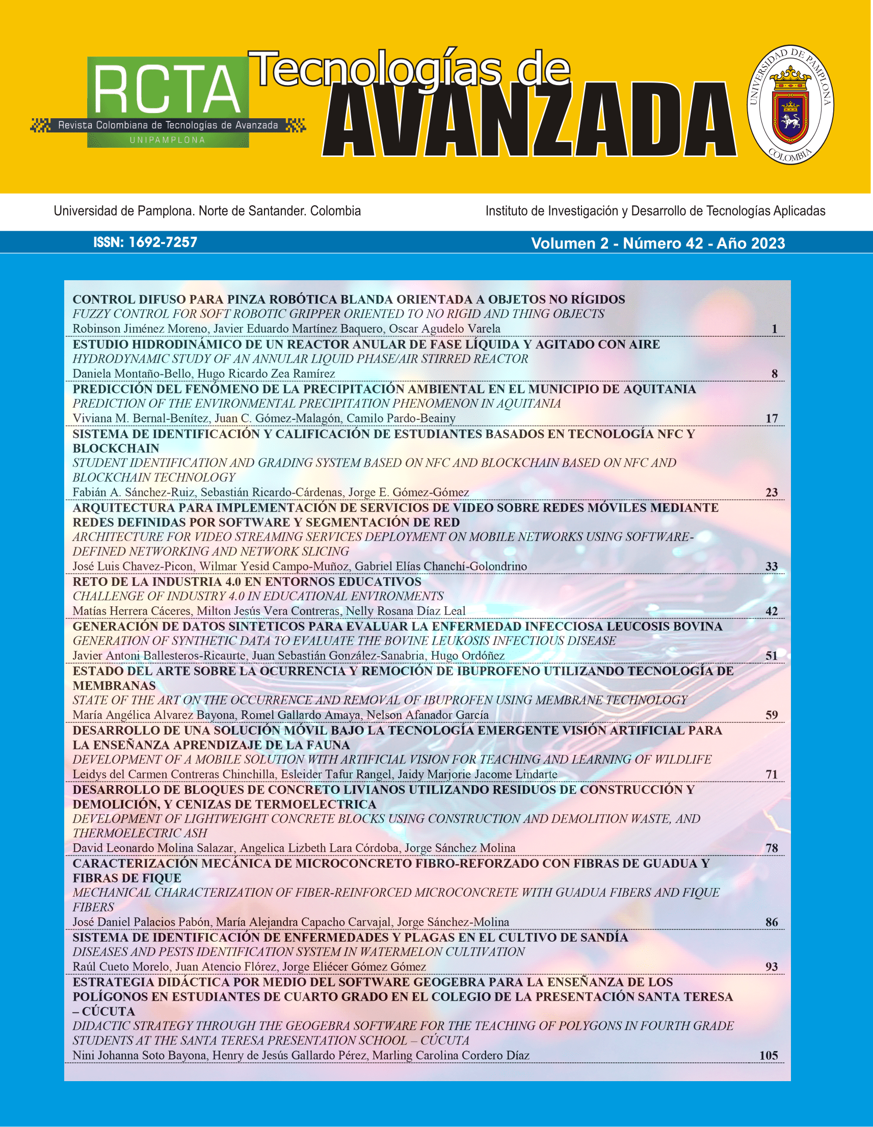
REVISTA COLOMBIANA DE TECNOLOGIAS DE AVANZADA (RCTA)
La Revista Colombiana de Tecnologías de Avanzada tiene como objetivo divulgar investigaciones de alto impacto en tecnologías avanzadas, cubriendo áreas como Telecomunicaciones, Control y Automatización, Mecatrónica, Inteligencia Artificial, Robótica, Electrónica de Potencia, Procesamiento Digital de Señales, Bioingeniería, Ingeniería de Software, Ingeniería Eléctrica, y más. Se orienta a ser un canal de referencia en el intercambio y desarrollo del conocimiento científico, contribuyendo al avance de la ingeniería y la tecnología.
Con periodicidad semestral y cobertura nacional e internacional, ofrece un espacio para el intercambio de conocimientos entre académicos e investigadores. Además de artículos originales, la revista publicará revisiones que examinan el estado del arte y sugieren direcciones futuras en los campos en desarrollo. Los manuscritos deben ser postulados en español e inglés para su evaluación por pares.
La gestión editorial está a cargo de la Vicerrectoría de Investigaciones de la Universidad de Pamplona, bajo la dirección del Ph.D. Aldo Pardo García, con un consejo editorial de expertos internacionales.
Indexaciones: Latindex, Publindex, Dialnet, MIAR, REDIB, EBSCO, Google Schoolar, Otros.
Periodicidad: Semestral.
ISSN Impreso: 1692-7257, ISSN en Línea: 2500-8625
Categoría Publindex: B
-

FACE: Revista de la Facultad de Ciencias Económicas y Empresariales
La revista "FACE" es una publicación científica que tiene como objetivo principal contribuir al avance del área de Negocios y Finanzas en el contexto de las Ciencias Sociales. Se enfoca en la difusión de artículos originales, inéditos, de investigación, reflexión y revisión. Aunque el idioma oficial de la revista es el español, se aceptan contribuciones en inglés y portugués.
Esta revista ofrece acceso libre a sus contenidos y no cobra ningún tipo de costo a los autores por el envío o la publicación de trabajos. Su público objetivo abarca la comunidad académica, científica y profesional a nivel regional, nacional e internacional.
Indexaciones: Latindex, Publindex, Dialnet, MIAR, REDIB, EBSCO, Google Schoolar, Otros.
Periodicidad: Cuatrimestral.
ISSN Impreso: 1794-9920 (2005 - 2022), ISSN en Línea: 2500-9338
Categoría Publindex: C
-
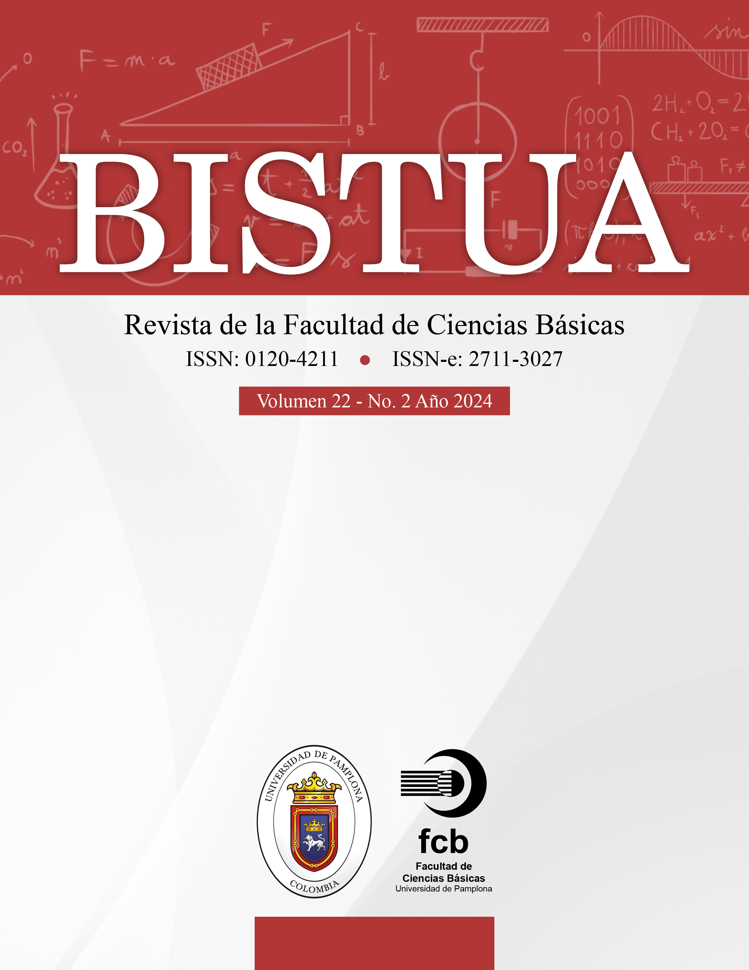
BISTUA Revista de la Facultad de Ciencias Básicas
BISTUA, la revista científica de la Facultad de Ciencias Básicas de la Universidad de Pamplona-Colombia, se dedica a la difusión de conocimientos en las ciencias naturales y exactas. Con una periodicidad semestral, busca contribuir al avance científico publicando resultados de investigaciones originales en áreas como Biología-Microbiología, Física, Geología, Química, Matemáticas y Ciencias Básicas Aplicadas. La revista está dirigida a investigadores, académicos y profesionales, tanto nacionales como internacionales, interesados en estas disciplinas.
Es una revista de acceso abierto, revisada por pares, que no cobra tarifas por el envío ni la publicación de artículos. BISTUA ofrece un espacio para la publicación de artículos de investigación científica y tecnológica, artículos de revisión y cartas al editor.
Indexaciones: Latindex, Publindex, Dialnet, MIAR, Redalyc, EBSCO, BIBLAT, Otros.
Periodicidad: Semestral.
ISSN Impreso: 0120-4211, ISSN en Línea: 2711-3027
Categoría Publindex: C
-
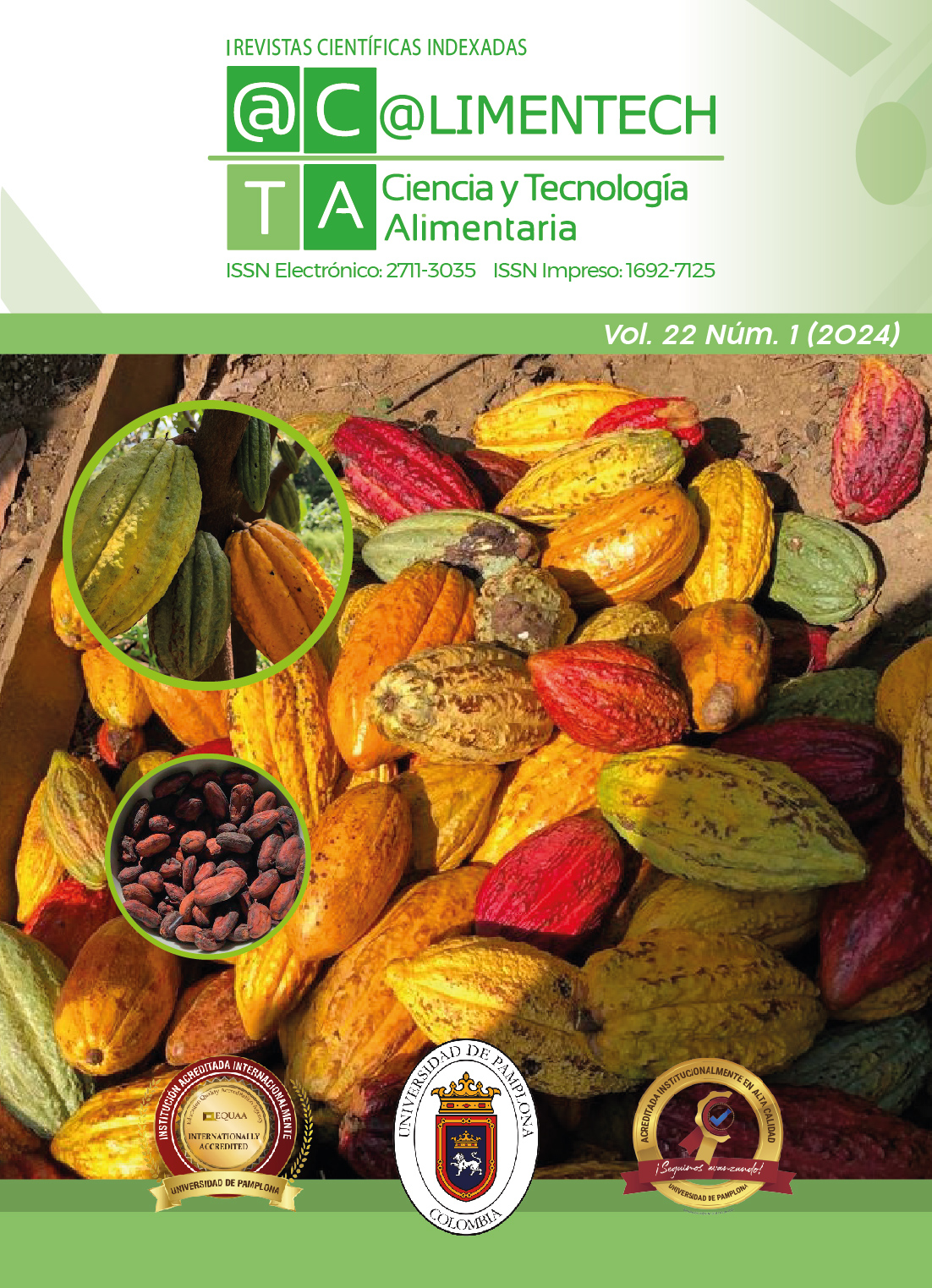
@limentech, Ciencia y Tecnología Alimentaria
La revista científica @LIMENTECH, adscrita al Departamento de Alimentos de la Facultad de Ingenierías y Arquitectura de la Universidad de Pamplona, dedicada a la Ciencia y Tecnología Alimentaria, se enfoca en los procesos de conservación, transformación, almacenamiento, transporte y comercialización de productos agroalimentarios. Su objetivo principal es el diseño de productos y procesos para asegurar la calidad y seguridad alimentaria, mediante operaciones sostenibles y respetuosas con el medio ambiente.
Se agradece la confianza en la revista y su equipo de trabajo. Para consultas adicionales, el correo electrónico de contacto es revista.alimentech@unipamplona.edu.co.
Indexaciones: Latindex, Publindex, MIAR, REDIB, EBSCO, otros.
Periodicidad: Semestral.
ISSN Impreso: 2711-3035, ISSN en Línea: 1692-7125
Categoría Publindex: C
-
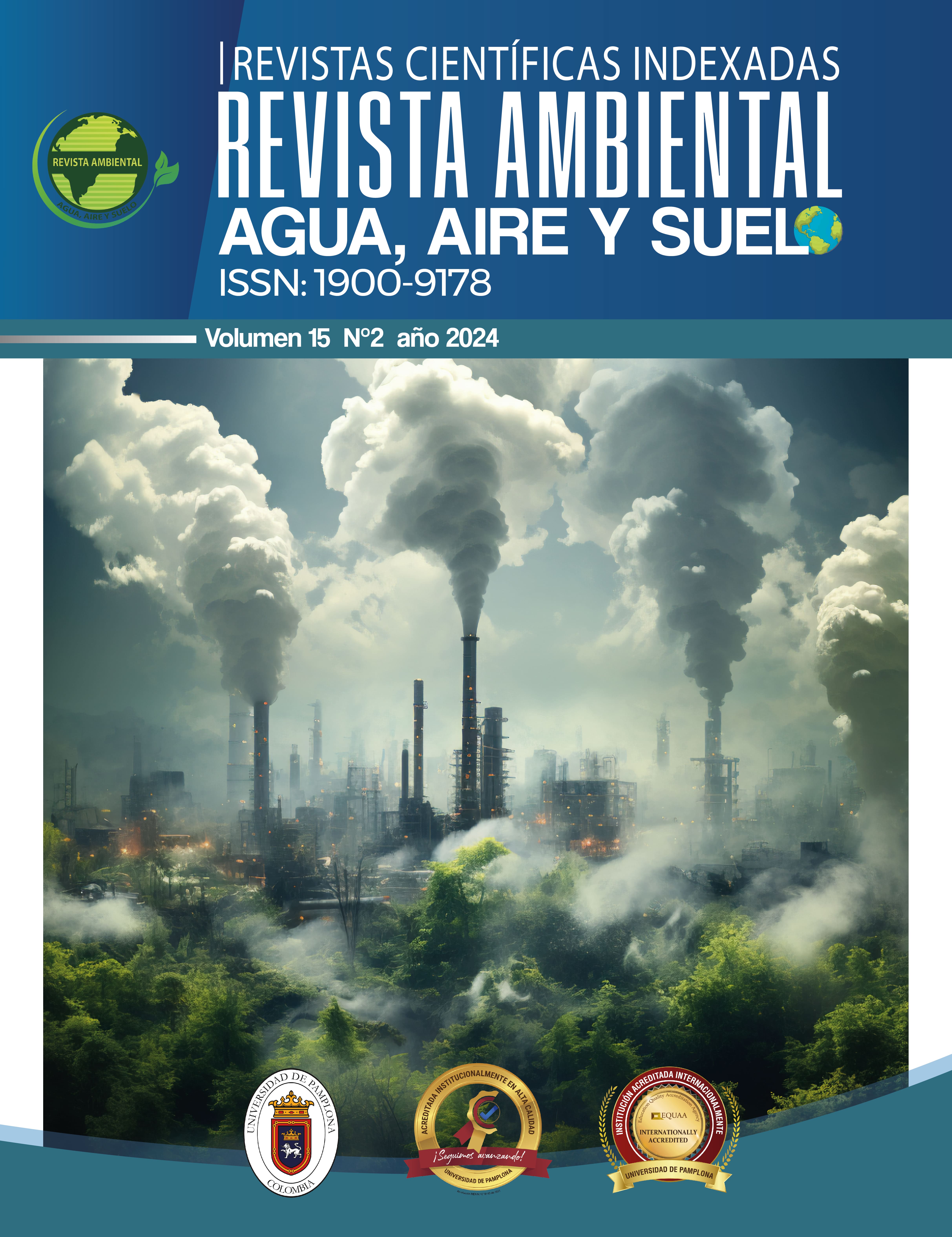
REVISTA AMBIENTAL AGUA, AIRE Y SUELO
La RAAAS, está adscrita a la Facultad de Ingenierías y Arquitectura de la Universidad de Pamplona. Su propósito principal es la difusión de conocimientos en el área ambiental, con énfasis en los trabajos de investigación relacionados con las temáticas de Agua, Aire y Suelo.
La revista busca proporcionar una plataforma para el intercambio de conocimientos y experiencias en materia ambiental, con el objetivo de generar recomendaciones y acuerdos concretos para el diseño de estrategias de acción y colaboración entre los participantes. De esta manera, se pretende enriquecer el conocimiento científico colombiano en las áreas ambientales.
El editor principal de la "Revista Ambiental: Agua, Aire y Suelo" es el PhD Jarol Derley Ramón Valencia, quien forma parte del grupo de docentes a tiempo completo del programa de Ingeniería Ambiental de la Facultad de Ingenierías y Arquitectura de la Universidad de Pamplona.
Indexaciones: Publindex, Latindex, Dialnet, otros.
Periodicidad: Semestral.
- ISSN impreso: 1900-9178
- ISSN en Línea: 2711-3051
Categoría Publindex: C
-
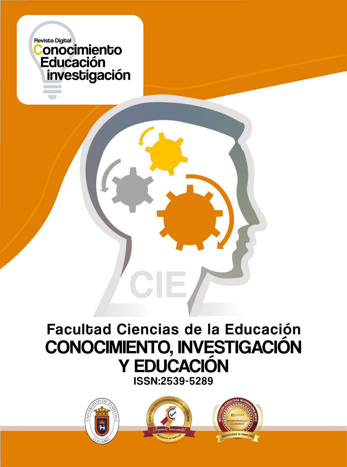
CONOCIMIENTO, INVESTIGACIÓN Y EDUCACIÓN CIE
La Revista de la facultad de educación “CIE” es de carácter investigativo y cultural. Publicará trabajos teóricos, experiencias pedagógicas y prácticas en el campo del Conocimiento, La Investigación y La Educación.
CONOCIMIENTO INVESTIGACIÓN Y EDUCACIÓN es una revista electrónica de carácter académico, que tiene como propósito la difusión de la investigación en el campo de la pedagogía y la práctica educativa, dentro del enfoque social que le corresponde.
Indexaciones: Publindex, Latindex, Latin REV, REDIB, EBSCO, Google Schoolar, Journal TOCs.
Periodicidad: Semestral.
Recepción de Artículos: Permanente.
Revisión por Pares: Doble ciego.
ISSN en Línea: 2539-5289
Contacto: revistacie@unipamplona.edu.co
-

CIENCIA Y TECNOLOGÍA AGROPECUARIA
La revista Ciencia y Tecnología Agropecuaria de la Facultad de Ciencias Agrarias de la Universidad de Pamplona, publicada desde el año 2004. Con el propósito fundamental de difundir información y trabajos originales que enriquezcan la comprensión en todas las áreas relacionadas con las ciencias agropecuarias, CYTA sirve como plataforma esencial para la divulgación científica de investigaciones realizadas en la facultad y para aquellos interesados en promover temas de relevancia en este ámbito.
Esta revista, de circulación semestral, abarca una amplia gama de temas y se presenta como un espacio de encuentro para investigadores, profesionales y académicos tanto a nivel nacional como internacional. Desde su sede en la Universidad de Pamplona, CYTA promueve el intercambio de conocimientos y experiencias, contribuyendo así al avance de la ciencia y la tecnología agropecuaria a nivel global.
Indexaciones: Latindex, Publindex, Dialnet, Google Scholar, otras.
Periodicidad: Semestral.
ISSN-e: 2805-6604, ISSN: 1900-0863
-
Revista Científica Signos Fónicos
La Revista Científica Signos Fónicos, adscrita a la Facultad de Salud de la Universidad de Pamplona, se dedica a la difusión de conocimientos en comunicación humana. Acepta trabajos en Fonoaudiología, Comunicación Social, Educación, Psicología, Salud Pública, Terapia Ocupacional, y áreas afines. Su objetivo es promover el conocimiento abierto y publicar investigaciones, sistematizaciones de experiencias y revisiones tecnológicas del Grupo de Investigación en Comunicación Humana y colaboradores.
Indexaciones: Publindex, Google Scholar, REDIB, otros.
Periodicidad: Semestral.
Recepción de Artículos: Permanente.
Revisión por Pares: Doble ciego.
Licencia: Creative Commons CC BY-NC-ND 4.0
Contacto: revistasignosfonicos@unipamplona.edu.co.
ISSN: 2422-1716
-

ACTIVIDAD FÍSICA Y DESARROLLO HUMANO
La Revista Actividad Física y Desarrollo Humano tiene como misión contribuir a la difusión de conocimientos en las disciplinas relacionadas con esta área. Actúa como un punto de encuentro privilegiado para universitarios y profesionales, tanto de la facultad como de otras universidades que mantienen convenios académicos con la Maestría en Ciencias de la Actividad Física y del Deporte. La revista acepta trabajos y avances para su difusión a la comunidad en general.
Indexaciones: Publindex, Latindex, Google Schoolar, Dialnet.
Periodicidad: Anual
Recepción de Artículos: Permanente
Revisión por Pares: Doble ciego
Licencia: Creative Commons CC BY-NC-ND 4.0
Contacto: actividadfisica@unipamplona.edu.co
ISSN Impreso: 1692-7427, ISSN en Línea: 2711-3043
-

Revista Ciencias Básicas en Salud
La revista CBS es una publicación trimestral del ámbito de las ciencias básicas en salud y afines; con un amplio sentido a la discusión y divulgación de resultados de trabajos teóricos e investigaciones prácticas desarrollados en universidades, instituciones de salud y centros de investigación nacional e internacional.
Indexaciones: Latindex, Dialnet, Google Schoolar, otras.
Periodicidad: Trimestral.
ISSN Línea: 2981-5800
-
Revista Investigación & praxis en CS Sociales
La Revista Investigación & Praxis en Ciencias Sociales, del grupo de investigación Ciencias Sociales e Interculturalidad, tiene como finalidad difundir la producción académica e investigativa de docentes y estudiantes de diversas instituciones universitarias a nivel nacional e internacional. Desde la investigación social, se constituye en un importante medio para la divulgación del conocimiento en el campo de las ciencias sociales.
Indexaciones: Latindex, Google Schoolar, Dialnet, otras.
Periodicidad: Semestral.
ISSN: 2954-5331
-
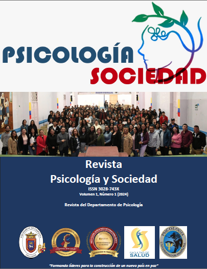
Revista Psicología y Sociedad
Psicología y Sociedad tiene como propósito divulgar conocimiento proveniente de la psicología y áreas afines con una perspectiva científica, reflexiva y crítica de la investigación, en la publicación de artículos originales y de calidad, contribuyendo a la comprensión de las realidades, así como a la generación de conocimiento útil para la resolución de problemas sociales.
La revista se proyecta en cinco (5) años, ser reconocida por la comunidad nororiental y nacional de Colombia como referente de excelencia en publicaciones científicas; comprometida con la calidad editorial de la investigación en sus diferentes formas, cooperando al cambio social y a la construcción de paz, contribuyendo a uno de los pilares misionales definidos por la Universidad de Pamplona.
La revista se suscribe a las políticas de preservación de la información y acceso ininterrumpido Lockss y Clockss, lo cual garantiza que los autores siempre tendrán disponible sus artículos publicados para consulta de los lectores con total seguridad.
La Revista Psicología y Sociedad también se define como una publicación científica de acceso abierto, distribuida bajo los términos de la licencia Creative Commons Attribution-NonCommercial 4.0 International (CC BY-NC 4.0 DEED). Esta licencia permite el uso no comercial del contenido sin modificaciones, siempre que se atribuya correctamente al autor original y a la fuente, facilitando así su utilización, distribución y reproducción en cualquier medio, bajo la condición de mantener la citación adecuada.
-

Revista Presencias, Saberes y Expresiones
La Revista Presencias, Saberes y Expresiones (PSE) es una revista abierta y arbitrada que se gestó en el año 2020 por iniciativa de la Facultad de Artes y Humanidades de la Universidad de Pamplona. Se desarrolla gracias al esfuerzo conjunto de un grupo de académicos que se desempeñan como profesores de diferentes programas de la Facultad de Artes y Humanidades. La revista se adscribe a las políticas y normativas de investigación internas cuyos procesos son liderados por la Vicerrectoría de Investigaciones, además de los procesos liderados por la Vicerrectoría Académica. La publicación de la Revista Presencias, Saberes y Expresiones se realiza gracias al apoyo de la comunidad académica de la Facultad de Artes y Humanidades y su equipo de trabajo, del Comité de Investigaciones de la Facultad de Artes y Humanidades (CIFA), y de la Vicerrectoría de Investigaciones.
-
Revista Semilleros de Investigación
La Revista Semilleros de Investigación, una iniciativa de la Universidad de Pamplona, tiene como objetivo difundir el conocimiento generado por estudiantes y docentes en diversas disciplinas. Este espacio está diseñado para promover el intercambio académico y la colaboración entre investigadores novatos y expertos, tanto de la universidad como de otras instituciones nacionales e internacionales. La revista invita a la comunidad académica a presentar sus resultados de investigación en áreas como Ciencias Naturales, Ingeniería y Tecnología, Ciencias Médicas y de la Salud, Ciencias Agrarias, Ciencias Sociales y Humanidades.
Con una periodicidad anual, la revista busca contribuir al crecimiento académico de los semilleros de investigación, promoviendo la innovación y el desarrollo social. El compromiso de la Universidad de Pamplona con la educación y la investigación se refleja en esta publicación, que proporciona un foro accesible para la difusión de investigaciones relevantes.
Periodicidad: Anual.
ISSN en Línea: 2711-3892
-
Cuidado y Ocupación Humana
La Facultad de Salud De la Universidad de Pamplona con el apoyo del equipo de trabajo representado en los nueve (9) departamentos que la conforman, ha alcanzado Un posicionamiento en la Región gracias a las producciones académicas, científicas y de interacción social, a lo largo de sus once años de existencia; como muestra de esos desarrollos nace la revista Cuidado y Ocupación Humana que hace parte de las emergencias y consolidación de la subjetividad política que han venido adoptando los miembros de la Facultad y que sin lugar a dudas abre sus puertas para convertirse en un escenario de divulgación y visibilidad no solo de los alcances científicos de nuestra Universidad, sino de todos aquellos profesionales formados y en formación que cuenten con producciones dirigidas al análisis, valoración, resolución, innovación o perfeccionamiento del abordaje individual y colectivo en materia de salud.
-
Revista Científica del Departamento de Medicina
El Departamento de Medicina apoya los procesos de publicación de la revista de Investigación INBIOM, que busca convertirse en un espacio de divulgación científica para investigadores en el área de las ciencias biomédicas a nivel internacional, nacionales y de nuestro departamento, apoyando de una manera especial a los investigadores que vienen fortaleciendo estos procesos en esta región, (Universidad de Pamplona, Universidad Francisco de Paula Santander, Universidad de Santander, Universidad Antonio Nariño, Universidad Simón Bolívar, Hospital Erasmo Meoz, Clínica IPS Universitaria, Etc.), así como a estudiantes de Doctorado, Maestría, especialización y de pregrado que quieran dar a conocer los avances o trabajos terminados de sus proyectos de Investigación desarrollados en la Universidad de Pamplona o de cualquier otra entidad.
-
Ingeniería, Sostenibilidad y Sociedad
Ingeniería, Sostenibilidad y Sociedad es una revista académica de publicación anual que recibe artículos originales, de revisión o reflexión enfocados en ingeniería sostenible, innovación tecnológica con impacto social, economía circular, transición energética y responsabilidad social. Los manuscritos deben ser inéditos, ajustarse a las normas APA (7.ª ed.), enviarse en el formato oficial. La postulación se realiza por la plataforma OJS o al correo.
Periodicidad: Anual
Recepción de Artículos: Permanente
Licencia: Creative Commons CC BY-NC-ND 4.0
Contacto: francisco.arencibia@unipamplona.edu.co
ISSN en Línea: 2805-6299
-
Revista Humanidades, Tecnología y Educación
La Revista HUTECEDU tiene como propósito contribuir activamente a la producción científica mediante la publicación de investigaciones rigurosas, con enfoque social, que promuevan prácticas pedagógicas innovadoras, pertinentes y contextualizadas, visualizadas a través de trabajos investigativos de docentes, estudiantes e investigadores en las líneas de humanidades, tecnología y educación, proyectándose a nivel nacional e internacional como un medio estratégico para responder a los desafíos formativos y culturales del siglo XXI, en consonancia con las tendencias contemporáneas de la educación.
-

Revista DIEXPE
La Revista DIEXPE de la Facultad de Ciencias de la Educación se propone la divulgación y difusión de los conocimientos en las áreas de la Didáctica, la Pedagogía y la Educación mediante la versión en formato digital, que anteriormente se publicó en medio físico, se resalta el apoyo generado desde la Rectoría, Vicerrectoría de Investigaciones, la Facultad de Ciencias de la Educación, el Departamento de Pedagogía, Educación Especial y Ciencias Sociales y la Dirección del Programa de
licenciatura en Educación Infantil, igualmente se agradece a los autores de los artículos por su contribución con la misma, a los pares evaluadores, al comité editorial, al comité científico, a los diagramadores, a los asesores y a todas aquellas personas y entidades que nos colaboraron en el logro de nuestro sueño, por las acciones y esfuerzos realizados para que esta edición haya alcanzado la calidad requerida y llegara a un feliz término, los autores de los artículos se hacen responsables de los contenidos de los mismos. -
Bilingual Research Academic Journal
Bilingual Research Academic Journal (BRAJ), es la revista oficial del Grupo de Investigación en Lenguas Extranjeras (GRILEX) para el programa de Licenciatura en Lenguas Extranjeras-Inglés-Francés de la Universidad de Pamplona, Colombia. Es una revista de acceso abierto que se publica dos veces al año (julio y diciembre). BRAJ publica investigaciones actuales, completas y en curso sobre temas relacionados con la enseñanza y el aprendizaje de lenguas extranjeras. En consecuencia, la Revista Académica de Investigación Bilingüe recibe artículos de investigación de estudiantes de todas las universidades, graduados y educadores de todos los niveles.
-

CONQUIRO
La revista de filosofía de la Facultad de Artes y Humanidades Conquiro tiene como propósito fortalecer la labor del grupo de investigación del programa de filosofía de la Universidad de Pamplona y ser el instrumento de difusión de la investigación en estudios de Filosofía, Derecho y humanidades, entre otros, a través del ejercicio pedagógico en las cátedras asignadas a los docentes miembros del grupo, de la Facultad, como de otras Universidades del País y el extranjero que quieran publicar sus resultados investigativos.
Como el nombre de la revista lo expresa, busca conquistar, investigar e incentivar en todas las áreas del conocimiento la labor investigativa y formativa intentando responder algunos
interrogantes importantes para la filosofía y para la academia, por ejemplo: ¿Hay lugar aún para la filosofía en la Universidad? ¿En un mundo globalizado con continuos avances científicos, tecnológicos e informáticos aún se busca con inquietud el saber y el sentido de las cosas? ¿De qué manera la universidad influye en esa búsqueda y qué papel cumple en el proceso enseñanza-aprendizaje? A pesar de que nos encontremos en un mundo con un notable desarrollo técnico y científico, la sociedad necesita reflexionar de una manera filosófica y definir el valor de la inteligencia por encima de la propia práctica, porque sencillamente la filosofía enseña a buscar el sentido de las cosas, de lo que se hace, de las actividades, de los oficios o profesiones, de la vida misma. -

-
Opening Writing Doors Journal
Opening Writing Doors Journal ( OWDJ),an official journal of the Research Group in Foreign Languages-GRILEX-, is an open-access journal published twice a year (July and December) by the Bachelor of Arts in Foreign Languages- English-French at the Universidad de Pamplona, Colombia. OWDJ publishes current, completed and in progress research on teaching and learning foreign languages issues. OWDJ also publishes reviews, critiques and articles on other varied areas such as: poetry, short reflections, descriptions and personal insights based on everyday experiences on foreign language classrooms. Accordingly,A,A Opening Writing Doors Journal welcomes papers from authors at all levels: elementary and secondary school teachers, higher education professors and students.
