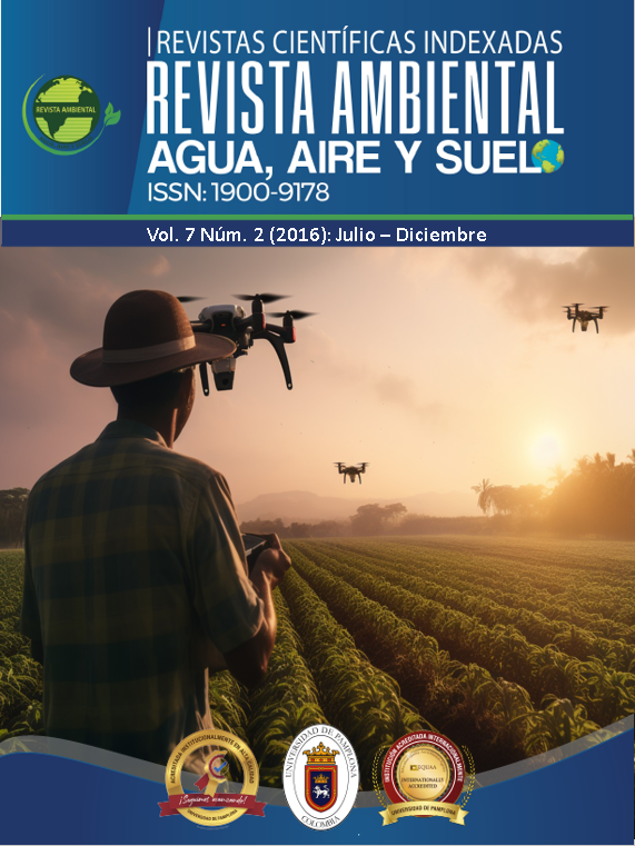
Optimization system for planning techniques in precision agriculture using drones
DOI:
https://doi.org/10.24054/aaas.v7i2.767Keywords:
Precisión agricultura, drones, multispectralAbstract
The use of new technologies in agriculture is aimed at improving production and reducing costs. Traditional agriculture is highly vulnerable to various climatic phenomena (Álzate-Nicholls) and the occurrence of diseases and pests, which are increasingly harmful and resilient to conventional agrochemicals.
This research seeks to contribute, through the use of a different technological tool, alternatives for precision agriculture to monitor and control the development of crops. It can be applied at different stages of crop growth, with one of its main advantages being the ability to generate various types of analyses in short periods of time (compared to other conventional methods), such as crop density, diseased or stressed areas, micro-relief, among others.
Downloads
References
Sankarasubramanian y Vogel. (2002). Climate elasticity of stream flow in the United States.
Rangel S., Joshua M., Ortiz, R. O., Villamizar, G. R. (2013). Manejo del ciclo de vida en productos agrícolas: caso cacao en Norte de Santander. Revista Ambiental Agua, Aire y Suelo. ISSN 1900-9178, 4 (2). pp: 6 - 22.
Vogel, R. M. & Kroll, C.N. ((2002). Regional Geohydrologic-geomorphic relationships for estimation of low-flow statistics. Water Resources Res. 28(9), 1992, 2451 – 2458.
Thomas, H. A. (1982). Improved Methods for National Water Assessment. Report, Contract WR 15249270, US Water Resources Council, Washington D.C. USA.
Thomas, H. A., Marin, C. M., Brown, M.J. y Fiering, M. B. (1983). Methodology for Water Resources Assessment. Report NTIS 84- 124163, US Geological Survey, National. Springfield, Virginia, USA.
Instituto de Hidrología, Meteorología y Estudios Ambientales (IDEAM). Atlas Climatológico Nacional – Distribución espacio – temporal de las variables del clima.
Downloads
Published
How to Cite
Issue
Section
License
Copyright (c) 2021 REVISTA AMBIENTAL AGUA, AIRE Y SUELO

This work is licensed under a Creative Commons Attribution-NonCommercial 4.0 International License.


